Summary
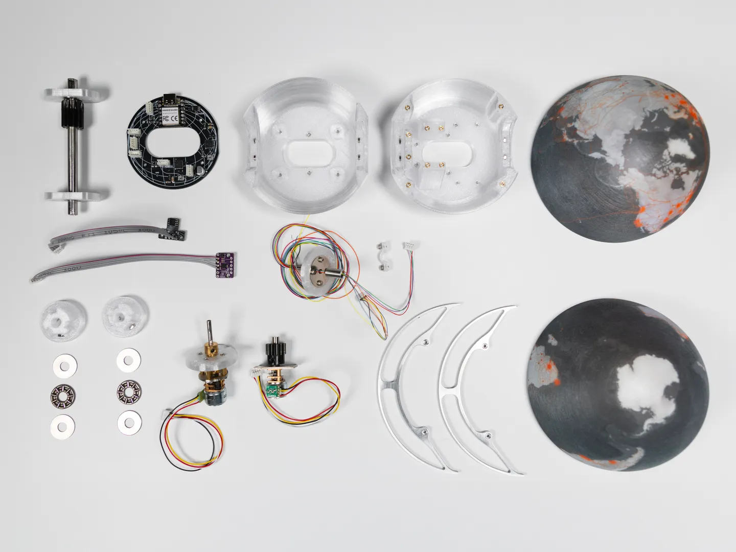
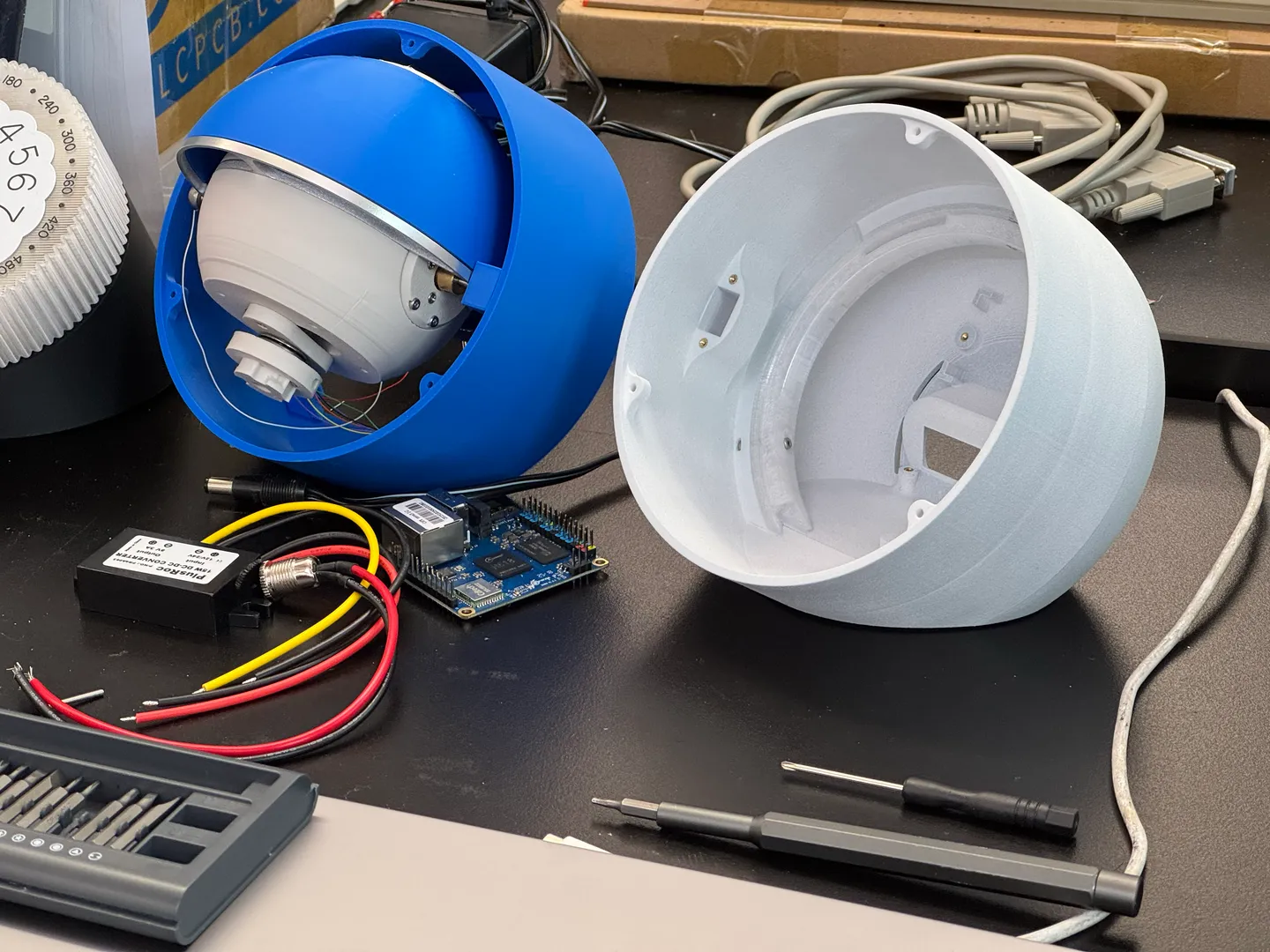
A network visualization instrument that functions simultaneously as an internet router and as a research device. Meant as a replacement for the home router, this tool connects our devices to the internet, while simultaneously mapping the servers we contact in real time. By doing so, it makes the invisible operations of the internet infrastructure both perceptible and subject to scrutiny.
Developed as a Master's Thesis at NYU Tisch School of The Arts Interactive Telecommunications Program.
Year
2026
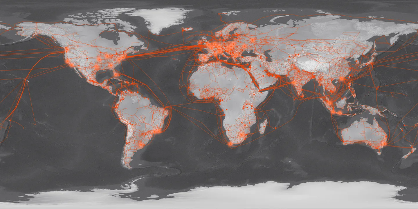
Amid the proliferation of data centers and 'cloud' infrastructure, a growing public awareness of the physicality of the internet is emerging.
After 30 years of internet-mediated relationships, we continue to question how this global infrastructure, and the decisions of how it is built and maintained, impact our experience of the world and of each other. The Fiber Navigator is a tool for this inquiry, born of the research project Infrastructures of Distance.
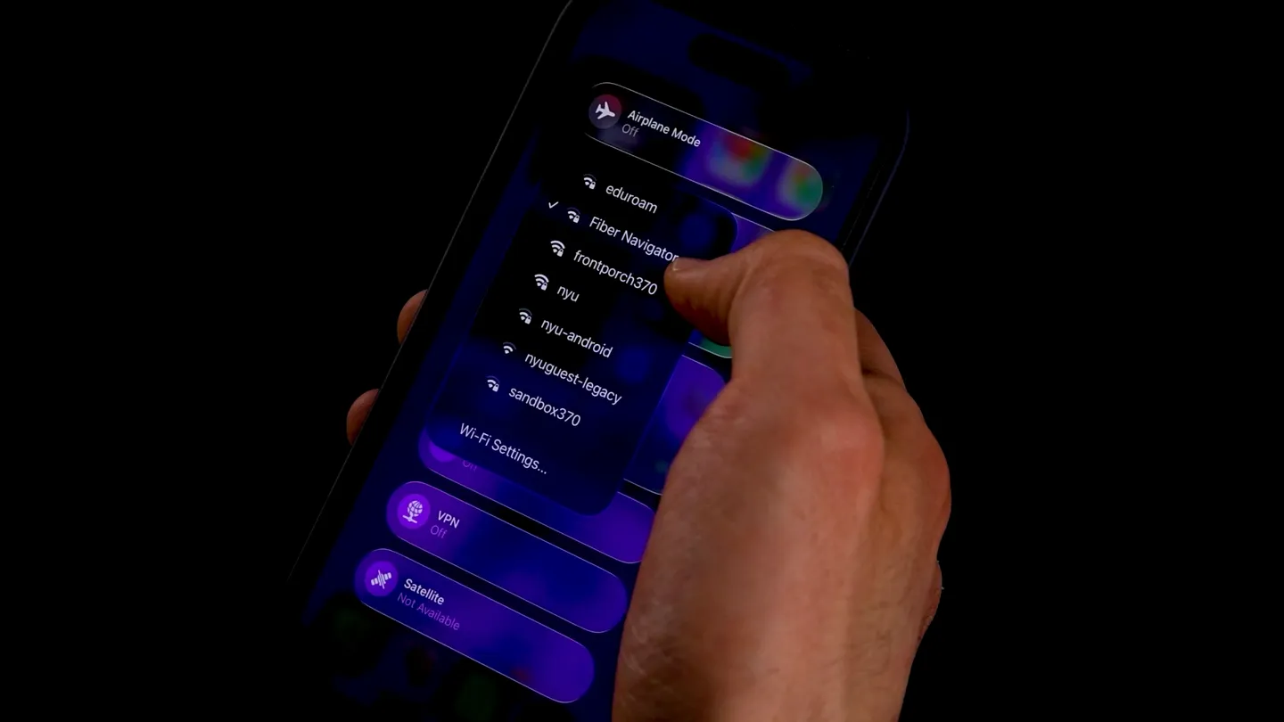
When connected to the internet over a network cable, the navigator broadcasts its own WiFi Hotspot.
Phones, laptops, TVs and other wifi-enabled devices can connect to this network and browse the web.
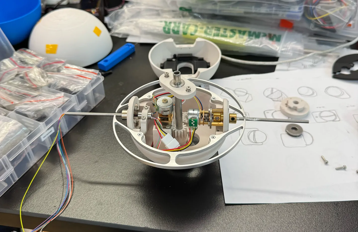
As they do, these smart devices connect to different servers in places like data centers, server farms or internet exchange points. The navigator observes these connections in real time and displays the location of the computer that responded to them on a motorized globe.
These locations are provided by a geoIP database, which maps IP addresses to latitudes and longitudes.
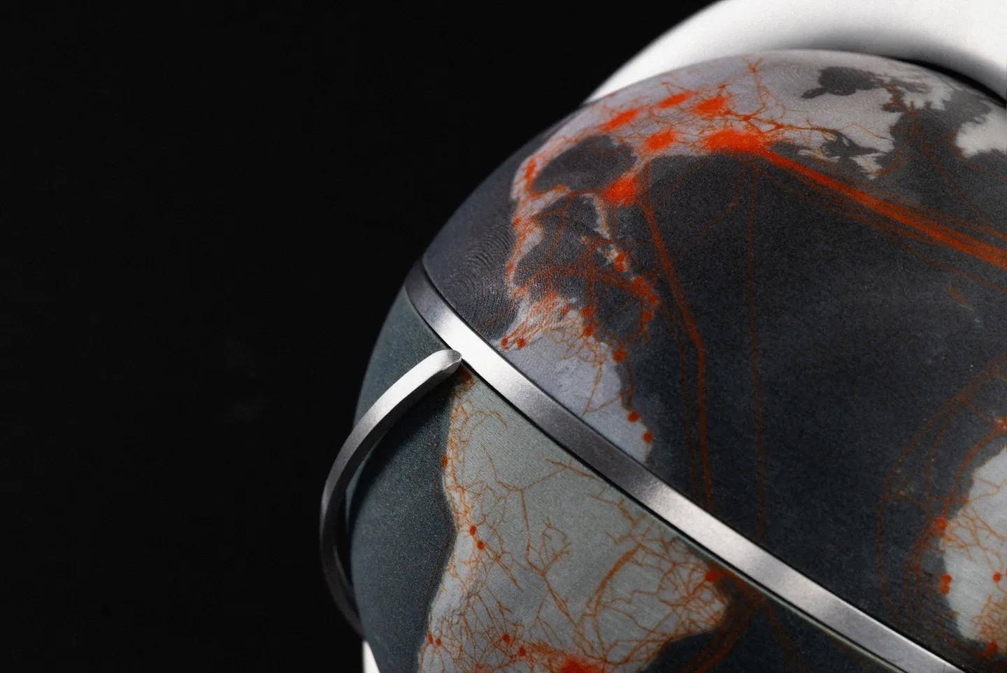
The map over which these connections are geolocalized is a visualization of the global internet infrastructure. The lines indicate cables, while the points represent major exchange facilities.
Combining open maps like the Open Infrastructure Map, PeeringDB and the ITU Broadband map, this resulting graphic approximates the real infrastructure, but is still missing proprietary data.
After geolocating, connections are logged locally for later analysis, as a record of the way we interface with the infrastructure.
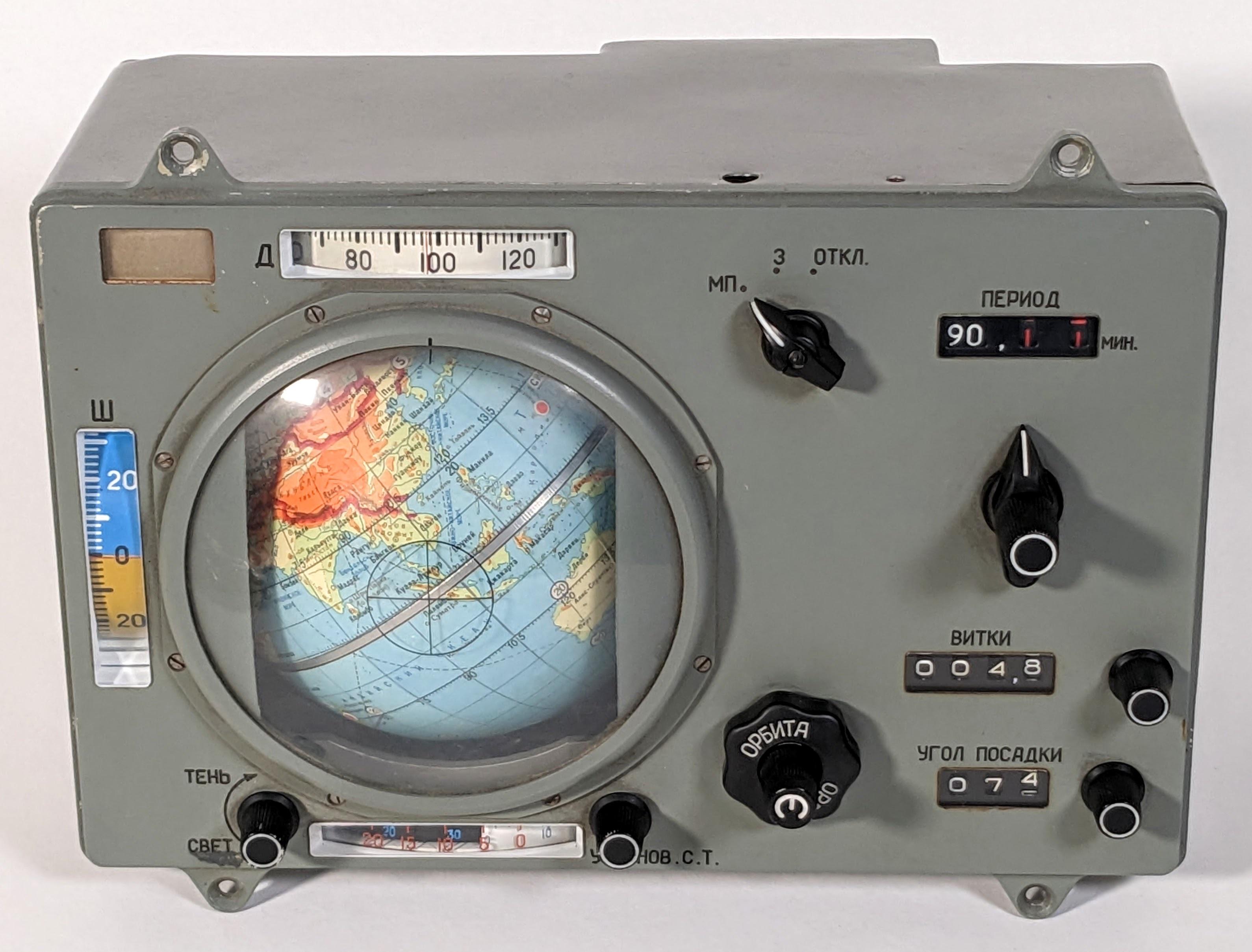
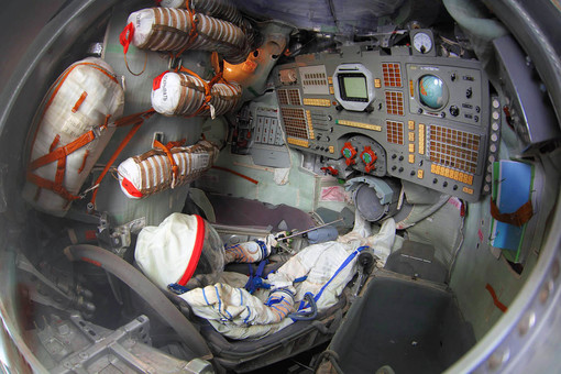
Inspired by the 1960's INK Globus Navigator, a technology developed for Soviet crewed spaceflight. Photo by Ken Shirriff (left)
This orientation device was used by astronauts to keep track of their location over the earth, as they navigated around it. Photo by the Museum of Cosmonautics (right)
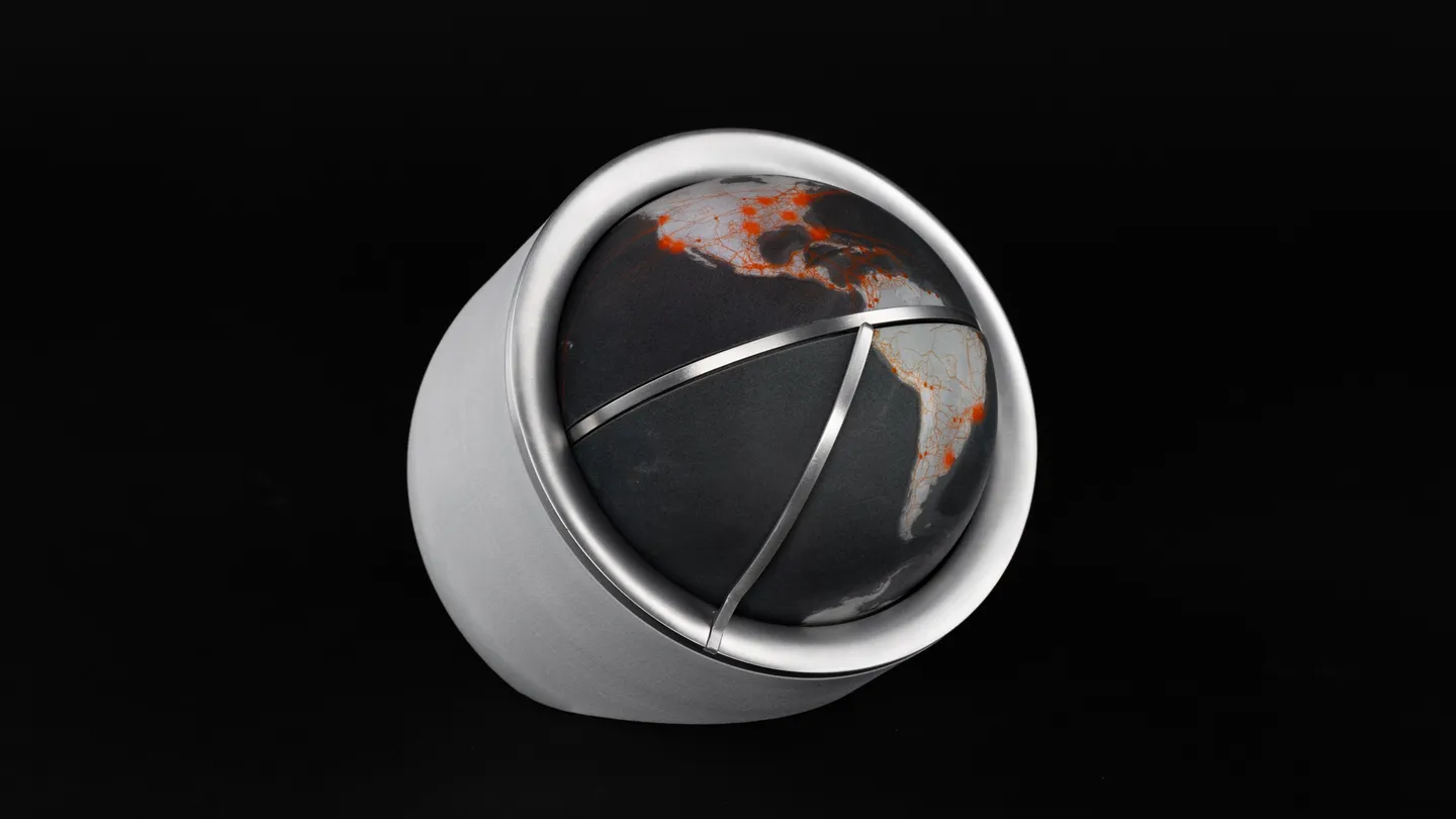
Like astronauts, internauts navigate around the earth: our connections traverse the infrastructure to reach and transmit data across the globe.
The Fiber Navigator, an echo of its predecessor, aims to provide a similar agency. A tool to stay aware of the network and the way we routinely make use of it, to scrutinize it, and to ultimately make informed decisions around it.